0 W Fm 1161Hungerford, TX 77435
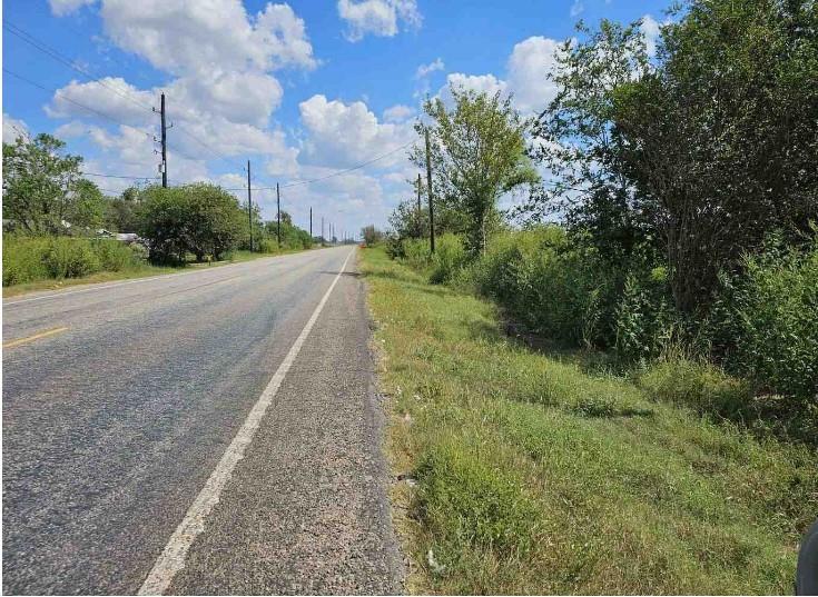

Approximately 20.62 acres of raw land comprised of two contiguous parcels (14 acres and 6.62 acres) identified as R28138 and R28114, located at coordinates 29.39616769272442, -96.1355644485 and 29.397126148472296, -96.13619886449999. The larger 14-acre parcel has frontage and road easement access along FM 1161, providing the only legal access to both properties. The smaller 6.62-acre parcel is landlocked and can only be accessed via an easement across the 14-acre tract. The terrain is generally open with a mix of flat and gently rolling topography, suitable for agricultural, recreational, or potential residential use. Boundaries and easement details should be verified by survey. Utilities and any improvements, if present, should be confirmed by the buyer.
| yesterday | Listing updated with changes from the MLS® | |
| yesterday | Listing first seen on site |
IDX information is provided exclusively for consumers’ personal, non-commercial use. It may not be used for any purpose other than to identify prospective properties consumers may be interested in purchasing. This data is deemed reliable but is not guaranteed accurate by the MLS.
Data provided by HAR.com © 2025. All information provided should be independently verified.
Did you know? You can invite friends and family to your search. They can join your search, rate and discuss listings with you.